

01.02.2020
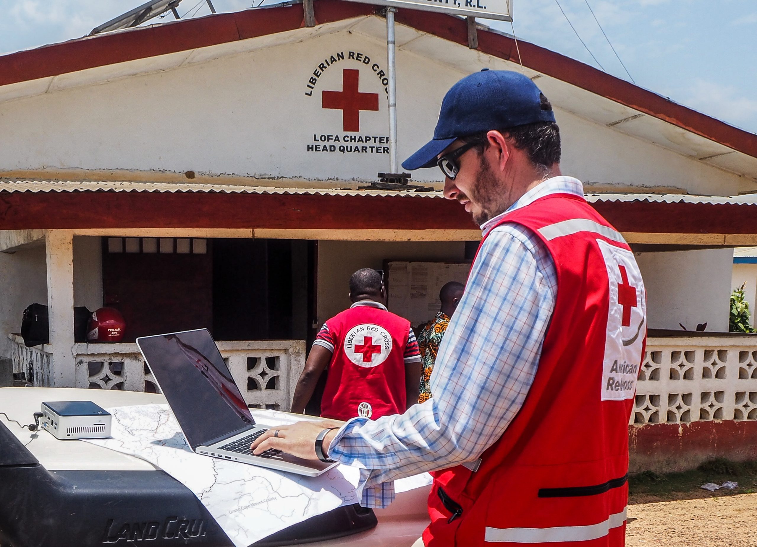
The American Red Cross, its Missing Maps project and Intel are using artificial intelligence (AI) to map vulnerable populations in developing nations to aid with disaster preparedness. Throughout 2019, Intel data scientists built a computer vision model that can identify previously unmapped bridges and roads on satellite images from Uganda.
According to the American Red Cross and its Missing Maps project, disasters affect nearly 200 million people around the world annually. Many of the affected areas are missing from maps, which means that first responders lack necessary information to make fast decisions regarding relief efforts.
Satellite images can be challenging to read, and bridges and infrastructure may differ from country to country. The AI model augments mappers’ abilities to cover more ground and can catch things that may be difficult for the human eye to find. For example, the model found 70 bridges in southern Uganda that had been missed in either OpenStreetMap or the official Ugandan Bureau of Statistics map.
The computer vision model runs on 2nd Generation Intel® Xeon® Scalable processors with DL Boost and nGraph.
While Intel doesn’t own the complete rights to the dataset, it is exploring opportunities to open-source the dataset for researchers and the geospatial community. It will also host workshops on how to use satellite imagery and AI for humanitarian use cases, utilizing the dataset and codebase developed for this project.
Comments are closed.